TRAINING
QGIS
Educational objectives :
- Acquire the essential basics of QGIS geographic information processing software to make plans.
- Carry out practical exercises which ensure the acquisition of know-how for easy and immediate production.
- Be able to insert, connect, validate input data and visualize your project design.
- Be able to modify and query a database
- Discover plugins (extensions) to add specific features to the software

Training
35 hours spread over 5 days
- Hours: 8:30 a.m. to 12 p.m. - 1:30 p.m. to 5 p.m.
- Location: your local / virtual classroom
Not eligible for CPF
Training content
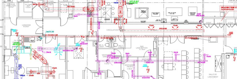
- GIS presentation (The functions of a GIS software - The data of a GIS)
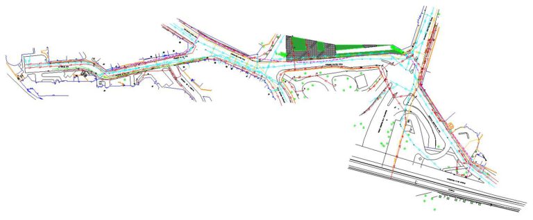
- Geographic Data (Data types: Vector data - Raster data - Data representation)
- Coordinates, Coordinate System and Projection
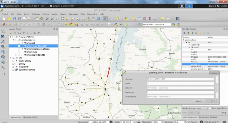
- Presentation of QGIS (QGIS Interface - QGIS Project)
- Exercises
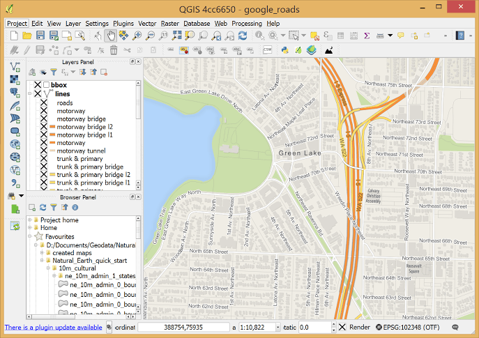
- Working resources (List of working resources - Adding Vector - Adding Raster - Adding WMS (cadastre, ..) - Adding WFS (brgm,…) - Adding Cadastre with cadastre extension)
- Data recording (cadastre, map of France, etc.)
- Exercises
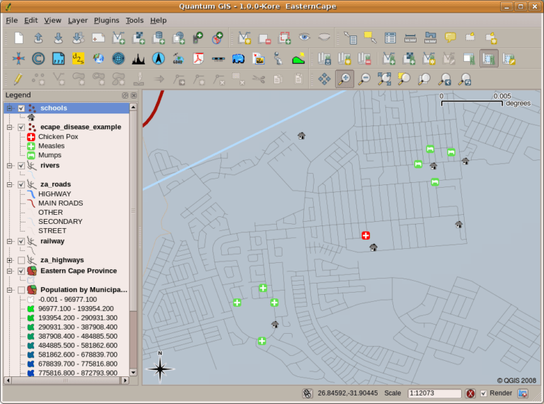
- Working resources (Layer manager (style of representations - Layers display management - Contextual menus). Layer properties (Display management of different layers - Vector layer properties - Raster layer properties).
- Representation of vector layers
- Representation of raster layers
- Exercises
- Presentation of QGIS symbology (Points, lines, fills and color palettes)
- Cartographic representation in QGIS (Thematic analyzes: Categorized symbols - Graduated symbols - Diagrams)
- Labels (Label settings)
- View Layer Data (Identify Layer Features)
- Display the vector and raster layers attribute table
- Modify the attributes of a layer (Adding and removing a column)
- Query an attribute table
- Exercises
- Print composer (Print composer presentation - Insertion of elements in the map space - Object configuration - Print and export in PDF - Generate an Atlas)
- Exercises
- Attribute Selection (Query Builder - Selection by Expression)
- Spatial queries (Selection by location - Spatial query extension)
- Saving the results of a filter or a selection
- Exercises
- Digitization of Elementary Objects: Basic Operations (Creation of Points, Lines and Polygons)
- Copy / Paste / Delete Entities
- Settings and Snap Options
- The Auto-Trace plugin
- Rotate Entity / Simplify Entity / Delete Add Ring or Part / Reshape or Separate Entities
- Add fields to the table, auto-fill using the field calculator
- Exercises
- The extensions window
- The main extensions:
- Send2GE: sends the current position to Google Earth
- Street View: Obtain a window with Google Street View by clicking and dragging the cursor on the map to set the location and direction of the desired view.
- Open Layers Plugin: gives access to Google funds, bing, street map, ...
- Cadastre: designed to facilitate the use of cadastral data (France) in QGIS (Import of EDIGEO data)
- Spatial Query: to perform queries on vector layers
- QPackage: allows you to package project data into a file
- Mask: to hide contours outside an area, and only display labels for objects in that area
On each theme.
Planning
Day 1
Morning :
Reception of trainees, Presentation of training objectives. Presentation of software and GIS.
Afternoon :
Module to address internal and external data integration and manage recording.
7 h 00
Day 2
Morning :
Management approach and structure of layers: layer manager, style of representations. Approach to representations of vector and raster layers.
Afternoon :
Presentation of the QGIS symbology, with its cartographic representation. Approaching labels, and its settings, discovering layer data and managing the display of data.
7 h 00
Day 3
Morning :
Learn the use of the print composer: presentation of the system, insertion of elements, configuration and printing / export in PDF.
Afternoon :
Module focused on selections (selection by expression, by location) and use of queries in QGIS.
7 h 00
Day 4
Morning :
Module focused on digitization in QGIS. In detail, approach to digitizing elementary objects. Discover the Auto-Trace plugin, add fields to the table, autofill using the field calculator.
Afternoon :
Discover and use the main plugins (extensions) in QGIS. How to set them up and learn how to use them depending on the situation (cadastre, street view, geolocation, etc.).
7 h 00
Day 5
Practice of the modules covered:
This day is devoted to practical scenarios covering each topic discussed.
7 h 00
Each module will be followed by practical workshops on the supports provided in order to apply the subject addressed according to the trainee's situation
Profiles trainees
- All public
Materials Required
- A computer
- A remote connection
Prerequisites
- Common use of technical infographic tools in a Windows environment.
Want to join?
Select the formula that suits you
Customized training?
You have a specific need in this area?
Let's talk about it, we have solutions.
Let's talk about it, we have solutions.
Accessibility
Rate
Access delay
Accessibility
Accessibility for people with disabilities: For anyone with a disability, please tell us the type of disability at this address contact@scal.biz. We will adapt or can direct you to a partner who supports this kind of disability.
Rate
To know our prices, contact us.
Access delay
Following your registration and validation of the prerequisites, we establish with you the schedule for setting up your training.
Nos résultats 2021
Overall satisfaction
0 /10
attendance rate
0 %
stagiaires
0
questionnaires de satisfaction complétés
0